High Resolution Air Quality Mapping
The Department of the Environment is to carry out high-resolution mapping of the Principality's air quality, which will take 3D effects into account (such as relief, the height of buildings, etc.).
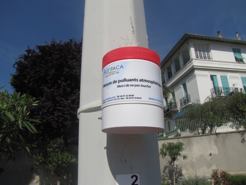
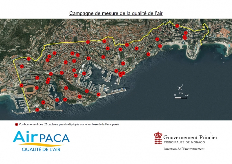
Within the framework of a programme entitled "Quality of Life – A High-Resolution Modelling and Mapping Platform for Air Quality in Monaco," 52 sensors have been installed throughout the territory of Monaco from 29 January to 26 February 2018.
In order to increase knowledge of the distribution of pollutants, these sensors will measure emissions of nitrogen dioxide (NO2), sulphur dioxide (SO2) and hydrocarbons over a period of one month in winter and one month in summer, to estimate the annual concentrations of these pollutants in the Principality.
This campaign, undertaken in partnership with Air PACA, will be repeated between mid-June and mid-July 2018. These two measuring campaigns will make it possible to calibrate and validate the high-resolution modelling of air quality, taking the dispersion of pollutants into account.